Les Arcs gets a few little top ups of snow
A warmer week ahead with mixed cloud and sunhine
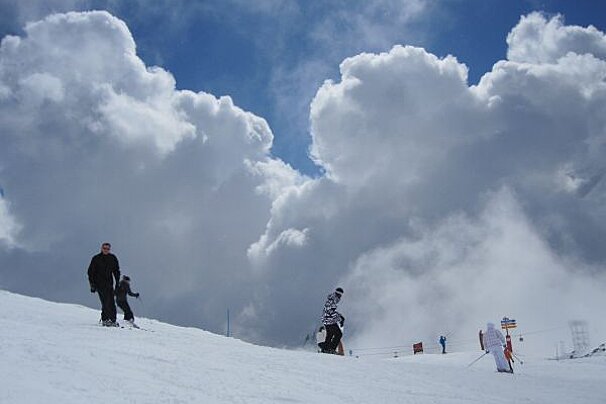
It’s been a week of varying weather and snow conditions across the resort of Les Arcs. After a few little top ups of snow and a glorious day on Wednesday, the weather is set to continue on a similar path for the coming week.
Temperatures will reflect the changeable highs and lows of the whole season so far, going from a very warm start, to a much colder finish by the end of the week. With it, will come varying freezing levels and a mixture of snow and rain showers for all the resorts within Les Arcs. There’ll also be light winds throughout the week, and if you’re planning on heading over to La Plagne in the next few days, Wednesday is predicted to be another corker.
Les Arcs 1600 and 1800
After a hesitant morning of cloud and sunshine, temperatures will reach a whopping 6ºc on Monday afternoon, alongside moderate rain showers and around 8mm of the wet stuff. As the day draws to an end, snow showers will follow, bringing around 4cm of snow overnight. Tuesday 23rd will be cloudy with slightly lower temperatures - although still above zero - with light winds and light snow showers. Wednesday morning will be much the same, although the clouds will part ready for a sunnier afternoon with temperatures down to around -4ºc. This sunshine will be brief, however. It looks as though Thursday 25th will bring tops up of snow throughout the day, with around 4-5cm predicted at 1600 metres. Friday 26th looks set to be the last slightly sunnier day of the week, with temperatures moving between -8ºc in the morning and -2ºc in the afternoon, before the cloud returns for the duration of Saturday.
Les Arcs 1950 and 2000
After a sunny Monday morning, temperatures will rise to around 5ºc at 2000 metres, bringing with it the likelihood of afternoon rain showers, thanks to the high freezing levels, which are predicted to be around 2800 metres. The silver lining is that overnight will see a snowfall of approximately 12cm. Tuesday 23rd will be cloudy with light snow showers throughout the day, slightly lower freezing levels of 1700 metres and temperatures of around -4ºc. After another light top up overnight, Wednesday will be bright and sunny with temperatures heading another knotch down to around -6ºc.
There are similar temperatures predicted for Thursday 25th, although the cloud will return, and will stay put throughout the day offering around 5cm of snow during the day and another 3-5cm overnight. Friday 26th will be a mixture of clouds and slightly more sunshine, with temperatures back down to a brisk -9ºc in the morning and -4ºc in the afternoon. If you’re planning on heading out Saturday, expect a cloudy day with a light breeze and temperatures of around -7ºc.
There could well be some more snow on the way for Sunday and Monday morning, but for now, have a great week on the hill.
Sunrise: 07:26
Sunset: 18:07
-
Follow more from Penny in her blog.